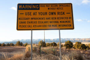
Travel at Your Own Risk
In-Depth Travel at Your Own Risk BLM and Garfield County continue sparring match over

by Ian Marynowski – 05.15.2025 – 15 min. read
On Jan. 11, 2025, hundreds of people gathered on the steps of Utah’s Capitol Building for the Rally for Public Lands—a show of support for preserving Utah’s national monuments, national forests and national park lands.
A light flurry of snow chilled the crowd as author Terry Tempest Williams, Utah Senate Minority Leader Luz Escamilla, Regina Lopez-Whiteskunk of the Ute Mountain Ute Tribe and Latiné university student Louise Fernanadez spoke to the value of keeping public lands free of development, while underscoring what polling in Utah consistently states—that dismantling public land protections is overwhelmingly unpopular.
Among those speaking that day was Autumn Gillard, cultural resource manager for the Paiute Indian Tribe of Utah, who emphasized the very specific value of public lands to her people. Gillard addressed how her cultural identity and physical health are intertwined with her ability to steward the landscape, to actively be a part of it. “Today I would like to express the importance of ancestral connection to public land,” she said. “Tribal people, long before the concept of public lands and forced colonization, interacted with the landscape traditionally, ceremonially as well as domestically,” Gillard said...
Sorry, we couldn't find any posts. Please try a different search.

In-Depth Travel at Your Own Risk BLM and Garfield County continue sparring match over
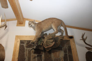
Utah declared a no-holds-barred open season against mountain lions almost a year ago. What happens to a keystone species when wildlife laws favor politics over science?
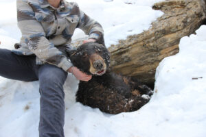
Essay What Does it Mean to Be Wild?: A trip to a bear den
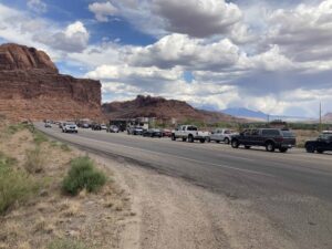
In-Depth Hyper-visitation, the Fate of the National Parks, and Tourism Toxification in a Small
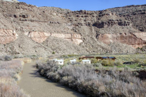
Take a wrong turn to the Top of The World off-road area near Moab and you could find yourself at a metal gate—ornate, yet sturdy—bearing the University of Utah’s blocky, red “U” and a sign: Bonderman Field Station at Rio Mesa…
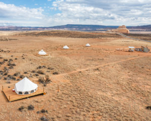
State Route 211 traverses rolling desert shrubland in Southeast Utah, passing rust and buff-colored sandstone domes and the foothills of the Abajo Mountains…
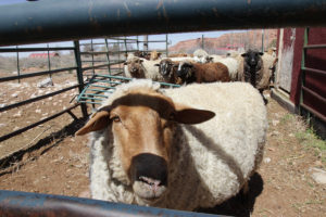
Dallan Evans took a final stroke with his shearing clippers across the ram’s back, and a creamy fleece…
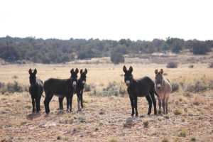
Deep in the gorges of Horseshoe Canyon, a remote offshoot of Utah’s Canyonlands National Park in the Hans Flat region of eastern Wayne County, an animal wheezes and whimpers as if choking…
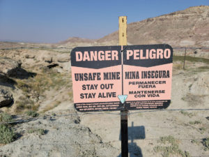
In mid-September, five Department of Energy (DOE) employees and a journalist toured the Cactus Rat Group area of the Thompson-Yellow Cat Mining District…
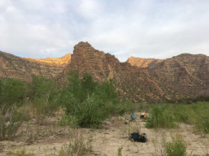
A thin haze appeared in the afternoon between our rubber boats and distant fins of burnt-orange rock, while a hot wind touched our faces, hands…
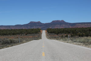
When Richard Gilbert bolted a new climbing route directly over an ancient petroglyph panel he mistook as graffiti in March 2021, the Access Fund, a national climbing advocacy group…
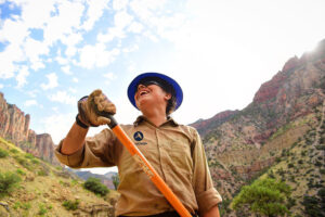
During the economic slump following the Great Recession, Alex Engel, a recent college graduate, found himself doing hard labor in some of the most unforgiving canyons southeastern Utah has to offer…
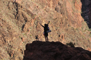
My father and I hiked into Grand Canyon in 1961. I still remember my keen disappointment half way down the Kaibab Trail, when he announced…
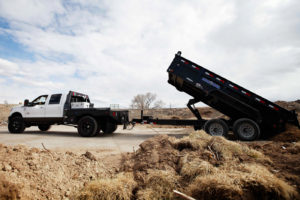
Salt Lake City native Jim Moore was aware of Grand Junction’s uranium mill tailings legacy when he moved to western Colorado in 1981. However…
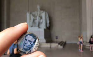
On one hand, the cultural/political gap between those who want to conserve public lands and those who want to exploit them is over-stated…

Our stories may be republished online or in print under Creative Commons license CC BY-NC-ND 4.0. We ask that you edit only for style or to shorten, provide proper attribution and link to our web site. Please see our republishing guidelines for use of photos and graphics.

Corner Post is a member of the Institute for Nonprofit News—a nationwide network of independent, nonprofit, nonpartisan news organizations. Learn more at inn.org.
Corner Post—a publication of Corner Post Media—is an independent non-profit media organization that produces journalism covering the Colorado Plateau. We support reporting and publish stories that are important to the people and to the unique landscapes of this region.
The Colorado Plateau is shaped by aridity, irrigated agriculture, extensive public lands, world-renowned rugged geography, and pioneer, Native American and ancient settlement underpinnings to our culture. Sparsely populated and underserved by in-depth reporting, the region is rich with stories to be told about our ongoing relationship to—and evolution within—this outstanding natural area.